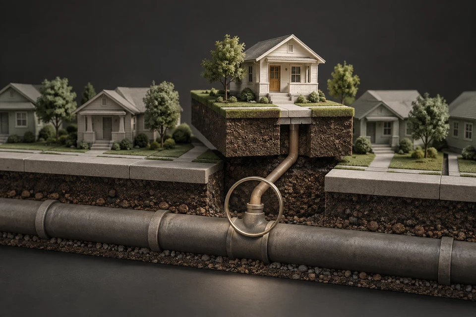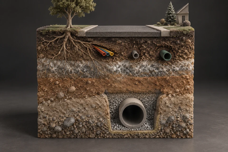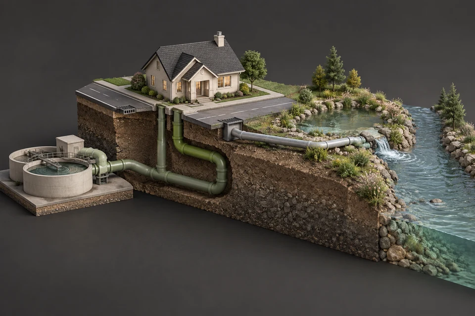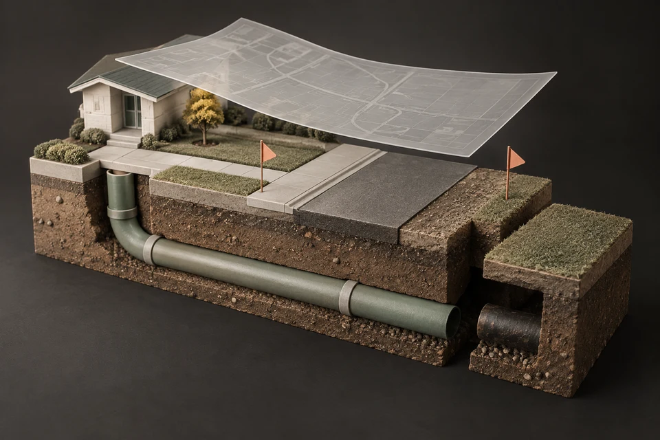
Calgary has no single free map of every sewer pipe. The City publishes its residential sanitary service lines as free open data with mapped geometry, sells detailed Sanitary Utility Section Maps of mains and manholes through City Online, and Utility Safety Partners arranges free locates of utility-owned lines. Customer-owned sewer lines are not marked by those locates and need a private locator or a camera with a sonde.
- The City's Public Sanitary Service Lines dataset is free, mapped and updated monthly, but it covers only the City-owned segment of each house connection.
- Sanitary Utility Section Maps, showing mains, manholes and test manholes, are sold by section through City Online under a licence aimed at developers, engineers and locators.
- Utility Safety Partners locates are free and need at least three full working days' notice, but they do not mark customer-owned water and sewer lines.
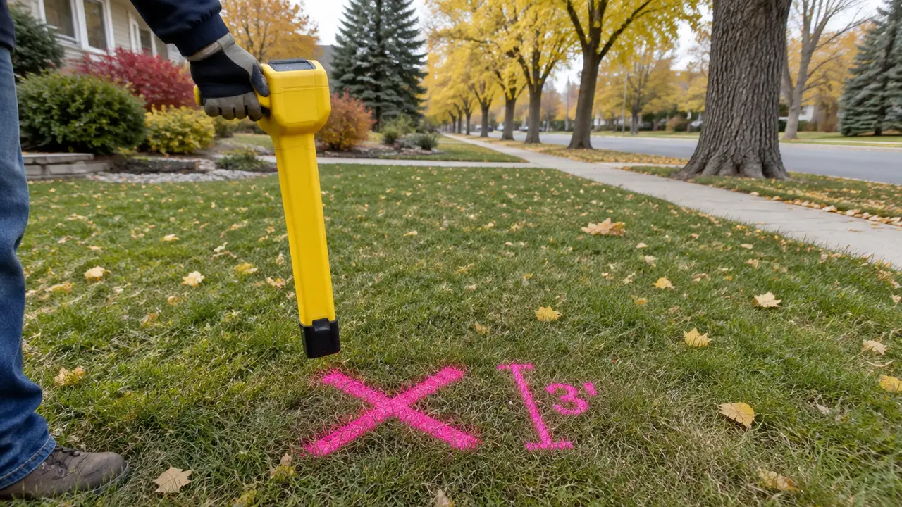
- Locate paint shows approximate position, not depth; the one-call service says to hand-dig within one metre of the marks.
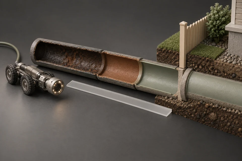
- Your private sewer line is found by a camera inspection with a sonde transmitter and a receiver on the surface.
01 /Is there a map of Calgary's sewer lines?
There are several, each covering a different layer and each with a different kind of access. Knowing which one you need saves time: a homeowner planning a garden bed needs a locate, a buyer researching a house needs the service line record, and an engineer designing a connection needs the utility maps.
| Source | What it shows | Access | Limits |
|---|---|---|---|
| Public Sanitary Service Lines (open data) | Each City-side service line with material, installed date, diameter, length, building type and mapped geometry | Free, no account; Open Government Licence – City of Calgary | City-owned segment only; no depth; excludes large commercial and multi-family services |
| Sanitary Utility Section Maps | Sanitary mains, manholes, test manholes and commercial services or private areas | Purchased by section through City Online under a licence | Intended for professional users; for depths the City recommends its Electronic Block Profile data |
| Utility Safety Partners locate | Paint or flags marking utility-owned buried lines in your dig area | Free request online or by phone | Does not mark customer-owned water and sewer service lines; marks do not show depth |
| Private locate or camera with sonde | Your own service line's route and approximate depth | Hired from a private locator or drain contractor | Accuracy depends on equipment and the operator |
02 /What does the City's free service line map show?
The *Public Sanitary Service Lines* dataset on data.calgary.ca is the only free, address-level sewer map the City publishes. Each record carries a line geometry, so the portal can draw every City-side service connection, and each carries the address served, street name, building type, material, diameter, public-side length and installed date. The City's Water Services business unit supplies it and lists the update frequency as monthly.
This site analysed all 367,397 records. Plastic dominates the mapped City segments at 66.5%, the tile code (TIL, generally read as clay tile) follows at 20.2%, cast iron sits at 3.3%, and relined segments make up 1.1%. Those shares describe street-side pipe only. No public map shows the owner's part of any connection, which may differ in both material and age.
- Look up one address: the Service Line Lookup queries the dataset for a house number and street and explains the result.
- Compare communities: the Community Sewer Atlas summarizes the data for 218 communities.
- Work with the raw data: the portal offers exports and an API; the City's open data terms of use apply.
- Understand the fields: how to read Calgary's service line records explains every column and code.
03 /How do you get a map of the sanitary mains?
Through the City's licensed maps. The City's Sanitary Utilities maps page describes Sanitary Utility Section Maps as showing the major components of the sanitary sewer system: sanitary mains, manholes, test manholes, and commercial services or private areas. They are sold by the section because the full dataset is large, and are purchased through City Online with a licence that the City says can be completed in minutes.
The City names the intended users as developers, architects, utility locators, consulting engineers and builders. The maps are updated when infrastructure is added, revised or removed. Where more precise detail or depth information is needed, the City points to its Electronic Block Profile data. Prices and licence terms are set on City Online and can change, so check there rather than relying on a figure from a third party.
04 /What will a free utility locate mark, and what will it miss?
A free locate marks lines owned by the utilities that belong to Alberta's one-call system, and it misses anything you own. Utility Safety Partners, the organization that runs Alberta's locate requests, says the service is free and asks homeowners to request locates at least three full working days before starting a project, online or at 1-800-242-3447.
- Not located: customer-owned water and sewer service lines, sprinkler systems and lines between buildings on the property. Utility Safety Partners tells homeowners to contact a private locator for these.
- No depth: its guidance says markings identify the approximate location of buried utilities and do not identify depth.
- Hand-dig zone: within one metre on either side of the marks, or five metres from high-pressure pipelines, it says to expose the line carefully with hand tools.
- Timing: when we checked in September 2026 the service was warning of longer-than-usual response times, so build in extra days.
05 /How do you map your own sewer line?
With a camera and a sonde. A drain contractor pushes a camera through a cleanout while a small transmitter, the sonde, travels in the camera head. A receiver on the surface finds the sonde's signal and estimates its position and depth, so the operator can mark the lawn at intervals or at each defect.
- Choose the access point
A basement cleanout is best. The camera distance counter is zeroed there, so every distance on the video is measured along the pipe from that point.
- Trace and mark
The operator marks the route at intervals and at any material change, joint problem or root mass.
- Record depths
Ask for depth readings at each mark. Depth changes along a lateral, and a single number for the whole run is not enough for planning a dig.
- Tie it to the property line
Measure from the marks to the property line so the video can be matched to the City's public-side length and ownership split.
Combining that private map with the City's record gives the most complete picture a homeowner can get. Calgary sewer scopes and the City record shows how to line the two up, and how deep are sewer lines in Calgary explains typical depths. To book a camera inspection with locating, request quotes.
06 /Are there historical sewer maps and records?
Some. The City of Calgary Archives says it holds original records created by the Towns of Bowness, Montgomery and Forest Lawn, and by the Village of Crescent Heights, from before their annexation to the City. The City's guide to researching building history also notes that building permits can be ordered from the Planning Services Centre.
These former towns stand out in the service line data too. Bowness has 41.6% of its City-side lines coded cast iron and Montgomery 34.9%, among the highest shares in the city, while Crescent Heights has 47.6% coded OTHER and 16.0% relined. The data do not say why, and the pattern may reflect when and by whom those systems were built; the archives are where that story would be confirmed. The era-by-era view is in Calgary's 1950s communities and inner-city sewers.
FAQQuestions people ask
Where can I find a Calgary sewer line map for my address?
The City's free Public Sanitary Service Lines open data maps the City-owned segment of each residential connection. Use the Service Line Lookup on this site to read the record for one address. Your private segment is not mapped publicly.
Does Calgary publish a free map of sanitary mains?
Not as free open data. The City sells Sanitary Utility Section Maps, showing mains, manholes and test manholes, by section through City Online under a licence intended for professional users.
Does the Alberta one-call locate mark my sewer lateral?
No. Its homeowner guidance says customer-owned water and sewer service lines are not located, and to hire a private locator for them. The one-call locate is still required for utility-owned lines before digging.
How much notice do I need for a locate in Alberta?
Plan on a minimum of three full working days between the request and the first shovel, and longer when the service warns of heavy demand.
Is there a Calgary storm sewer map?
The City describes its storm system publicly but does not publish a free pipe-by-pipe storm map in its open data catalogue. For professional needs, ask City Online or 311 about storm utility mapping; for a yard project, request a locate.
NETWORKGo deeper across the HAUSE Sewer network
Sewer line locating and depth: how the mark on your lawn is made
How sewer line locating and depth readings work: the sonde, the hand-held locator, peak and null readings, marking, accuracy, and calling before you dig.
SewerRoots.caPlanting Distance Checker
Planting Distance Checker: pick a tree, shrub or perennial group, enter its distance from the sewer lateral, and see if the spot meets the guideline.
SewerJetting.caHydro jetting weeping tile: how foundation drains are cleaned, and when they cannot be
Hydro jetting weeping tile explained: how foundation drains clog with silt, roots and iron ochre, how they are jetted from the sump, and when to replace them.