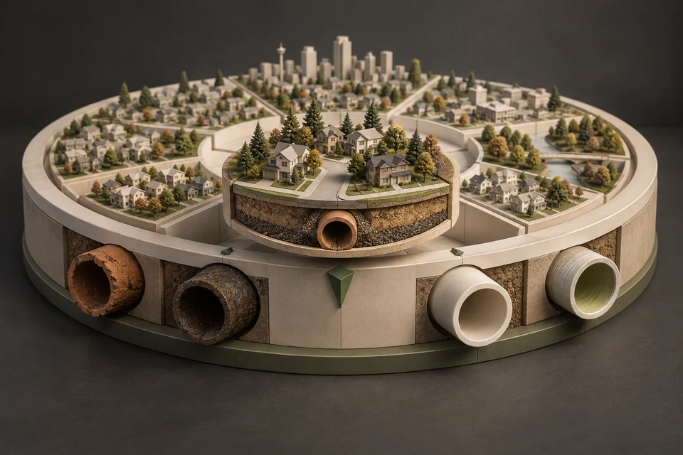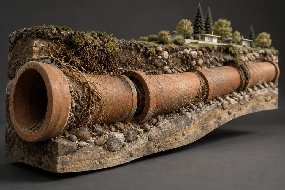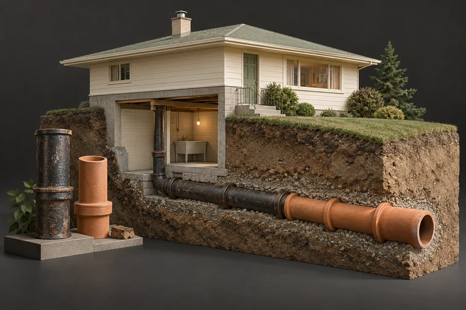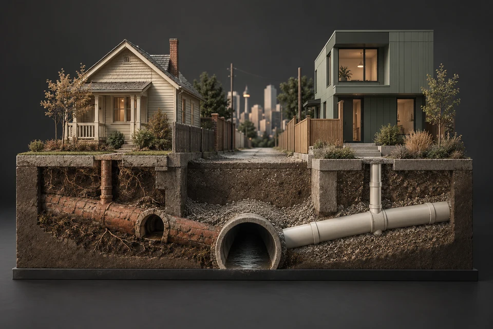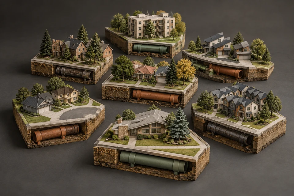
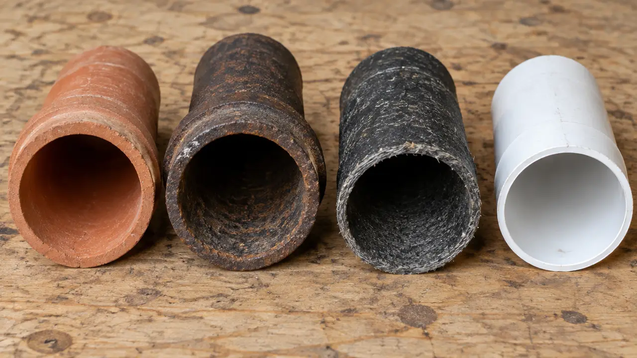
Calgary's sewer service lines divide cleanly by era. Inner-city and 1950s communities hold the oldest City-side records, mixing unexplained OTHER and TP codes with cast iron. The 1960s and 1970s belt is about 78% on the TIL tile code, generally clay tile. Communities from the 1980s onward are 88 to 100% PVC. Every figure covers the City-owned segment only; private lines can differ.
- This page groups 218 Calgary communities by the City's structure class and sector, using 367,397 City-side service line records.
- The Centre sector has the oldest records (43.4% pre-1960); the East has the highest tile share (42.0%); the Southeast is 93.7% PVC.
- The 1960s/1970s class is 77.5% TIL; the 1950s class mixes tile, cast iron, TP and OTHER; newer classes are almost all PVC.
- Community labels do not always match pipe dates, so check the install years, not just the class.
- Local conditions matter everywhere: deep frost-protected sewers, clay till over gravel and bedrock, mature trees, chinook freeze-thaw and summer storms.
01 /How do Calgary's communities divide by sewer era?
The City of Calgary's community boundary data give each community a structure class, such as 1950s, Inner City or Building Out. Joining the City's *Public Sanitary Service Lines* records to those boundaries shows how closely the pipe in the ground follows the eras. The table covers all ten classes.
| Structure class | Communities | Lines | % TIL | % cast iron | % PVC | % relined | % pre-1960 |
|---|---|---|---|---|---|---|---|
| Inner City | 25 | 23,906 | 0.1 | 11.7 | 41.6 | 3.9 | 41.6 |
| 1950s | 42 | 46,833 | 23.1 | 18.5 | 22.7 | 3.8 | 42.1 |
| 1960s/1970s | 44 | 71,348 | 77.5 | 0.3 | 17.4 | 1.7 | 1.0 |
| 1980s/1990s | 31 | 70,484 | 9.1 | 0.0 | 87.6 | 0.2 | 0.0 |
| 2000s | 27 | 73,482 | 2.1 | 0.0 | 95.7 | 0.0 | 0.0 |
| 2010s | 7 | 26,485 | 0.0 | 0.0 | 98.4 | 0.0 | 0.0 |
| 2020s | 3 | 7,706 | 0.0 | 0.0 | 100.0 | 0.0 | 0.0 |
| Building Out | 25 | 45,397 | 0.0 | 0.0 | 99.4 | 0.0 | 0.0 |
| Employment | 11 | 876 | 4.5 | 40.6 | 21.2 | 0.1 | 27.5 |
| Centre City | 3 | 605 | 0.5 | 26.0 | 14.5 | 0.5 | 40.0 |
02 /How do the city's sectors compare?
Each community also sits in one of eight City sectors. Adding up the atlas communities sector by sector gives each part of the city its own fingerprint. The newest northern communities also sit along the corridor that carries regional wastewater south to Bonnybrook, a story told in the Airdrie–Calgary wastewater pipeline.
| Sector | Communities | Lines | % TIL | % cast iron | % PVC | % relined | % pre-1960 |
|---|---|---|---|---|---|---|---|
| Centre | 56 | 42,507 | 1.8 | 14.9 | 39.0 | 3.4 | 43.4 |
| East | 12 | 15,015 | 42.0 | 6.6 | 32.0 | 1.9 | 2.8 |
| West | 24 | 32,313 | 14.3 | 5.0 | 68.9 | 2.2 | 14.4 |
| Northwest | 21 | 50,666 | 28.7 | 4.2 | 60.8 | 1.2 | 2.9 |
| South | 44 | 74,186 | 33.3 | 0.4 | 62.4 | 0.6 | 5.0 |
| Northeast | 24 | 50,097 | 32.2 | 0.1 | 65.6 | 0.2 | 0.7 |
| North | 23 | 54,812 | 10.7 | 0.3 | 84.3 | 0.8 | 1.9 |
| Southeast | 14 | 47,526 | 2.6 | 1.4 | 93.7 | 0.2 | 1.6 |
The South is the largest sector by line count and carries a third of its lines on the tile code, from Lake Bonavista, Canyon Meadows and Willow Park. The Northeast looks similar on tile share, driven by Rundle, Marlborough, Marlborough Park, Penbrooke Meadows, Pineridge and Whitehorn. The Southeast, home to Cranston, Mahogany, Auburn Bay and Seton, is the newest.
03 /Which communities belong to each era?
The lists below follow the City's structure class for each of the 218 atlas communities. Remember that some labels do not match the install dates: Abbeydale, for example, sits in the 2000s class but its City-side lines have a median year of 1978 and are 86.3% tile. The Community Sewer Atlas shows each community's own dates.
Inner City (25): Altadore, Bankview, Bridgeland/Riverside, Cliff Bungalow, Crescent Heights, Elbow Park, Erlton, Garrison Woods, Hillhurst, Inglewood, Lower Mount Royal, Mission, Mount Pleasant, Ramsay, Renfrew, Rideau Park, Rosedale, Roxboro, Scarboro, South Calgary, Sunalta, Sunnyside, Tuxedo Park, Upper Mount Royal and West Hillhurst. The guide: Calgary inner-city sewers.
1950s (42): Albert Park/Radisson Heights, Banff Trail, Bowness, Britannia, Cambrian Heights, Capitol Hill, Charleswood, Chinook Park, Collingwood, Elboya, Fairview, Forest Lawn, Glamorgan, Glenbrook, Glendale, Haysboro, Highland Park, Highwood, Hounsfield Heights/Briar Hill, Killarney/Glengarry, Kingsland, Mayfair, Meadowlark Park, Montgomery, North Glenmore Park, Ogden, Parkdale, Parkhill, Richmond, Rosemont, Rosscarrock, Rutland Park, Scarboro/Sunalta West, Shaganappi, Southview, Spruce Cliff, St. Andrews Heights, Thorncliffe, Westgate, Wildwood, Windsor Park and Winston Heights/Mountview. The guide: Calgary's 1950s communities.
1960s/1970s (44): Acadia, Bayview, Beddington Heights, Bel-Aire, Bonavista Downs, Braeside, Brentwood, Canyon Meadows, Cedarbrae, Dalhousie, Dover, Eagle Ridge, Forest Heights, Greenview, Greenwood/Greenbriar, Huntington Hills, Kelvin Grove, Lake Bonavista, Lakeview, Maple Ridge, Marlborough, Marlborough Park, Mayland Heights, Midnapore, North Haven, North Haven Upper, Oakridge, Palliser, Parkland, Penbrooke Meadows, Pineridge, Point McKay, Pump Hill, Queensland, Ranchlands, Rundle, Silver Springs, Southwood, Temple, University Heights, Varsity, Vista Heights, Whitehorn and Willow Park. The guide: Calgary's clay tile belt.
1980s/1990s (31): Castleridge, Christie Park, Citadel, Coach Hill, Country Hills, Deer Ridge, Deer Run, Diamond Cove, Douglasdale/Glen, Edgemont, Erin Woods, Falconridge, Harvest Hills, Hawkwood, Hidden Valley, MacEwan Glen, Martindale, McKenzie Lake, Millrise, Patterson, Riverbend, Sandstone Valley, Scenic Acres, Shawnee Slopes, Shawnessy, Signal Hill, Somerset, Strathcona Park, Sundance, Woodbine and Woodlands.
2000s (27): Abbeydale, Applewood Park, Arbour Lake, Auburn Bay, Bridlewood, Coral Springs, Cornerstone, Cougar Ridge, Coventry Hills, Crestmont, Discovery Ridge, Evergreen, Glacier Ridge, Hamptons, Huxley, Kincora, Mahogany, Monterey Park, Rangeview, Redstone, Rocky Ridge, Saddle Ridge, Seton, Skyview Ranch, Taradale, Tuscany and Valley Ridge.
2010s (7) and 2020s (3): Chaparral, Evanston, McKenzie Towne, New Brighton, Panorama Hills, Royal Oak and Sherwood; Copperfield, Nolan Hill and Walden. Building Out (25): Alpine Park, Aspen Woods, Belmont, Belvedere, Carrington, Cityscape, Cranston, Currie Barracks, Garrison Green, Haskayne, Homestead, Hotchkiss, Keystone Hills, Legacy, Lewisburg, Livingston, Moraine, Pine Creek, Ricardo Ranch, Sage Hill, Silverado, Springbank Hill, West Springs, Wolf Willow and Yorkville. The guide for all of these: Calgary's 1980s to 2020s communities.
Employment (11) and Centre City (3): Alyth/Bonnybrook, Fairview Industrial, Foothills, Golden Triangle, Greenview Industrial Park, Highfield, Horizon, Manchester, Manchester Industrial, Meridian and Sunridge; Beltline, Downtown Commercial Core and Downtown West End. These have few residential service lines in the dataset, because large commercial and multi-family services are excluded.
04 /Which communities stand out in the data?
| Distinction | Community | Figure |
|---|---|---|
| Oldest median install year | Rosedale | 1950 |
| Earliest record | Crescent Heights | 1901 |
| Highest tile (TIL) share | Maple Ridge | 99.1% of 808 lines |
| Highest cast iron share | Rosscarrock | 56.6% of 1,008 lines |
| Highest TP share | Wildwood | 73.0% of 1,050 lines |
| Highest OTHER share | Scarboro | 66.3% of 335 lines |
| Most relined by share | Highwood | 22.1% of 865 lines |
| Most relined by count | Huntington Hills | 262 lines |
| Most lines with no material recorded | Country Hills | 30.6% of 993 lines |
| Largest community by lines | Cranston | 6,302 lines, median 2007 |
Three of Calgary's former towns, Bowness, Montgomery and Forest Lawn, sit among the highest cast iron shares, at 41.6%, 34.9% and 27.6%. The City of Calgary Archives says it holds original records created by those towns, and by the Village of Crescent Heights, from before annexation.
05 /What local conditions affect sewers in every Calgary community?
Era sets the material; Calgary sets the conditions the material has to survive.
- Depth and frost: the City's design guidelines require at least 2.5 m of cover over sanitary sewers in the public right-of-way. Chinook thaws and hard freezes cycle the ground near the surface, and frost drives deepest under cleared driveways. See how deep are sewer lines in Calgary.
- Ground: the Alberta Geological Survey describes Calgary's surface deposits as till or lake sediment over quartzite gravel or very hard sandstone bedrock, with difficult digging in many areas.
- Trees: communities built in the 1950s to 1970s now have trees 50 to 70 years old above jointed pipe.
- Storms: summer rain drives sanitary flows up; the City's own plant data show Bonnybrook's busiest 2025 days in late June and July. See sanitary vs storm sewers in Calgary.
- Backwater protection: the City notes that Alberta's plumbing code requires below-grade fixtures to be protected from sewer backup, that installing a backflow prevention device needs a plumbing permit, and that full-port valves need annual servicing.
- 311: backups, blocked storm drains, record corrections and suspected City-side defects all start with a 311 call; see Calgary sewer bylaws and 311.
06 /How should you use this page for your own home?
- Find your era
Locate your community in the lists above, then check its actual install dates in the Community Sewer Atlas.
- Check your own record
Use the Service Line Lookup to see the City-side material and date at your address.
- Read your era guide
Each guide explains what the codes mean and which problems are typical.
- Inspect the private side
For older eras, a recorded camera inspection is the only way to see the pipe you own. You can request quotes for one.
Planning ranges for work in any community, which are estimates and not quotes, are on the Calgary sewer line costs page.
FAQQuestions people ask
Which Calgary communities have the oldest sewer lines?
On the City side, Rosedale has the oldest median install year (1950), followed by Scarboro (1952) and several 1954 communities: Inglewood, Ramsay, Upper Mount Royal and Hounsfield Heights/Briar Hill. Crescent Heights has the earliest record, 1901.
Which Calgary communities have clay sewer pipes?
The City's TIL (tile) code, generally clay tile, dominates the 1960s/1970s communities, including Maple Ridge, Rundle, Marlborough Park, Willow Park, Parkland, Lake Bonavista and Varsity. These figures cover the City side only.
Are newer Calgary communities all PVC?
Almost. The City's 2000s class is 95.7% PVC on the City side, the 2010s class 98.4%, the 2020s class 100% and Building Out communities 99.4%.
Why doesn't my community's label match its sewer age?
The structure class is a City planning classification in its boundary data. It does not always match install dates; Abbeydale is labelled 2000s but its City-side median install year is 1978.
Is my community missing?
Communities with fewer than 20 City-side service lines are omitted from the atlas, and the City's dataset excludes large commercial and multi-family services.
Where does this community data come from?
This site matched every record in the City's sanitary service line dataset to the City's community boundary map on 2026-09-24. Each line is assigned to the community containing its first mapped point.